
Failu:Nigeria location map.svg

Size of this PNG preview of this SVG file: 779 × 599 pixels. Ofifi resolutions: 312 × 240 pixels | 624 × 480 pixels | 998 × 768 pixels | 1,280 × 985 pixels | 2,560 × 1,970 pixels | 954 × 734 pixels.
Failu eyi atata (SVG file, nominally 954 × 734 pixels, file size: 442 KB)
Location of Asare, Kalambaina and
Nkana-ngwook
| Ike îkupbe |
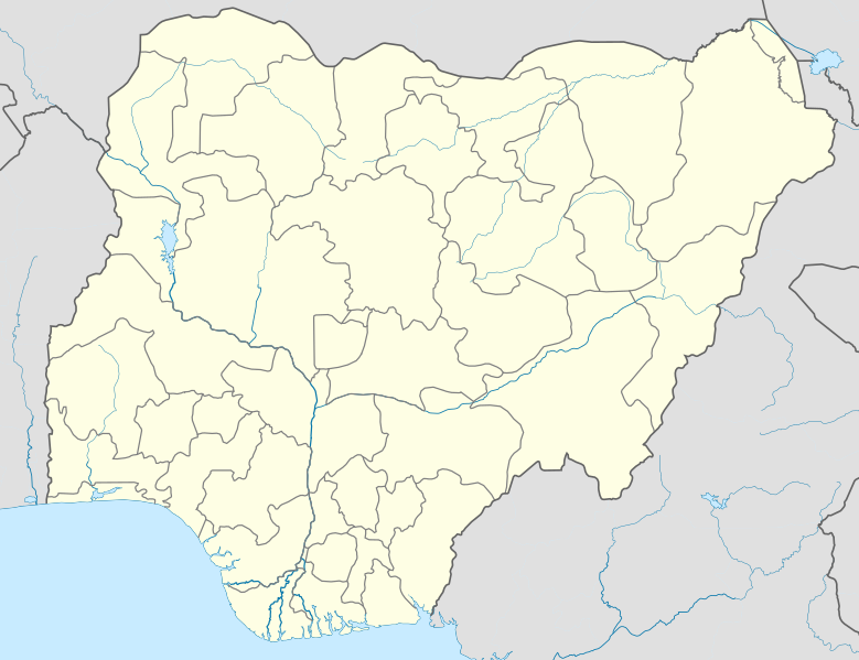
Deutsch: Positionskarte von Nigeria
Quadratische Plattkarte. Geographische Begrenzung der Karte:
English: Location map of Nigeria
Equirectangular projection. Geographic limits of the map:
|
| Usen-onyan̄ | |
| Ere înan̄abe | Ubọk-ikwaan̄ kan̄ (Original text: Own work, using UN-map of Nigeria No. 4228 from October 2004) |
| Ogwu ògege | Uwe Dedering |
| SVG genesis |
Inyinyi unye
Uwe Dedering at German Wikipedia, the copyright holder of this work, hereby publishes it under the following licenses:

|
Mînyi unye ichichibi, icheche mè/mè ìre inwenwene ekwu yi igọọk me lek nchieek GNU Free Documentation License, Òsolek 1.2 mè ìre eyi mgburudun̄ eyi Free Software Foundation egonbe; with no Invariant Sections, kpunu inu-nge eyi Isi ikpa, kpunu inu-nge eyi udun̄ ikpa. Mîtap copy of license yi me agan̄ ekigwen GNU Free Documentation License. |
This file is licensed under the Creative Commons Attribution 3.0 Unported license.
Itọn̄ inyi: Uwe Dedering at German Wikipedia
- Owu môkọt:
- icheche ikana – ichichibi, ichon mè iria inu yi isibi
- igwugwugwa – inwenwene ubọk-ikwaan̄ yi itap me ike oweekbe
- Mè ire ochieek irọrọ ikechi:
- itọn̄ yi – Owu òkaan̄ inyinyi itọn̄ ògbegbe, inyi ugọbọ òkisi lek license ya, mè itumu si mè ìre mînwene inu geege. Owu môkọt irọ ikeya me oniin̄ geelek òsisibi inu, ire, karọ me oniin̄ òborọ ibe ebi ene ekekeek ebe ke ogwukaan̄ îrọ owu inye mè ìyaka ire ke îrọ inu owu osabe irọ inye.
Owu môkọt igobo license òneme owu.
This file is licensed under the Creative Commons Attribution-Share Alike 3.0 Germany license.
- Owu môkọt:
- icheche ikana – ichichibi, ichon mè iria inu yi isibi
- igwugwugwa – inwenwene ubọk-ikwaan̄ yi itap me ike oweekbe
- Mè ire ochieek irọrọ ikechi:
- itọn̄ yi – Owu òkaan̄ inyinyi itọn̄ ògbegbe, inyi ugọbọ òkisi lek license ya, mè itumu si mè ìre mînwene inu geege. Owu môkọt irọ ikeya me oniin̄ geelek òsisibi inu, ire, karọ me oniin̄ òborọ ibe ebi ene ekekeek ebe ke ogwukaan̄ îrọ owu inye mè ìyaka ire ke îrọ inu owu osabe irọ inye.
- che ikeya si – Ire okpọk igwugwa, inwene, mè ìre inen̄e inu yi isa irọ ofifi inu, owu òkaan̄ icheche inu ya orọbe me same or compatible licenseike îrebe me eyi adasi ya.

Original upload log
Transferred from de.wikipedia to Commons by Uwe Dedering.
The original description page was here. All following user names refer to de.wikipedia.
- 2010-02-10 11:43 Uwe Dedering 954×736× (181926 bytes) better coastline
- 2010-02-10 10:39 Uwe Dedering 954×736× (181888 bytes) some little mask errors
- 2010-02-09 18:24 Uwe Dedering 954×736× (184458 bytes) clipping does not work
- 2010-02-09 14:16 Uwe Dedering 990×765× (150899 bytes) {{Information |Beschreibung = |Quelle = |Urheber = |Datum = |Genehmigung = |Andere Versionen = |Anmerkungen = Tschad-See verändert }}
- 2010-02-09 12:51 Uwe Dedering 990×765× (148360 bytes) {{Information |Beschreibung = Deutsch: Positionskarte von Nigeria Quadratische Plattkarte. Geographische Begrenzung der Karte: * N: 14° N * S: 4° N * W: 2° O * O: 15° O English: Location map of Nigeria Equirectangular projection.
Mfufuk failu
Keme me lek usen-onyan̄/mgbọ inyi òmun̄ failu ike îkupbe me mgbọ ya.
| Usen-oyan̄/Mgbọ | Asabọn-ogugo | Okike | Òsikwaan̄ | Tumu ikọ folek | |
|---|---|---|---|---|---|
| eyi mgbọ keyi | 14:57, 9 Disemba 2010 | | 954 × 734 (442 KB) | Uwe Dedering | better admin1 borders, less rivers |
| 20:55, 11 Febuwari 2010 |  | 954 × 736 (182 KB) | Uwe Dedering | reeeeeally little corrections | |
| 12:56, 10 Febuwari 2010 |  | 954 × 736 (178 KB) | Uwe Dedering | {{Information |Description={{de|Deutsch: Positionskarte von Nigeria Quadratische Plattkarte. Geographische Begrenzung der Karte: * N: 14° N * S: 4° N * W: 2° O * O: 15° O English: Location map of Nigeria Equirectangular projection. Geographic limits o |
Ikwaan̄ failu osibe
Inu esabe failu irọ me otutuuk ere
Wiki kechi ekisa failu yi irọ inu:
- Inu esabe irọ me af.wikipedia.org
- Inu esabe irọ me als.wikipedia.org
- Inu esabe irọ me am.wikipedia.org
- Inu esabe irọ me an.wikipedia.org
- Inu esabe irọ me ar.wikipedia.org
- Inu esabe irọ me ast.wikipedia.org
- Inu esabe irọ me azb.wikipedia.org
Kpọ ebi kè ofifi inu esabe failu yi irọ.